Birds Point, Mo., an obscure spot on the map that until a few days ago most people had never heard of, has been thrust into the national news. It will garner even more attention in the coming 48 hours.
Birds Point isn’t really a community. It’s a spot on part of the Mississippi River levee system near where the Ohio River feeds the Mississippi. It’s also the linchpin in a plan the Corps of Engineers will trigger tonight when they will intentionally breach the levee at Birds Point and flood about 130,000 acres of rich, fertile Mississippi County, Mo., farmland – which is officially part of the Birds Point-New Madrid Floodway – known to everyone locally as “the spillway” and flanked by two levee systems designed for the purpose that will be tested in the coming days.
The goal is to ease flooding in the town of Cairo, Ill., at the confluence of the Ohio and Mississippi rivers, and to relieve the tremendous pressure the floodwaters are exerting on miles of flood controlling levees that are now withstanding more strain than they have ever been required to bear. Since the Corps is in the water control business this is probably a near nightmare scenario for them. It’s certainly a nightmare scenario for spillway landowners and residents and everyone battling flood waters along the Ohio and Mississippi.
I have a keen, somewhat emotional interest in this story, having grown up in Mississippi County, Mo., in East Prairie, a town just outside the levee protected spillway. My wife grew up in the spillway, although her family has since moved to town.
The last time the spillway was flooded was in 1937 – the flood year by which all others have been measured. Until now, when it will soon be eclipsed by the flood of 2011.
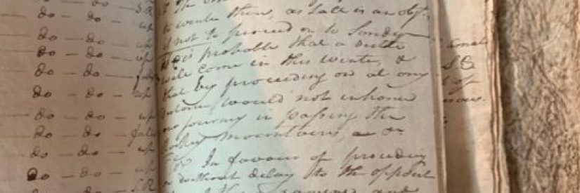
Opinions vary on whether the Corps’ plan will work. I don’t know if it will or not and neither does anyone else, I suspect. No one alive today has seen water levels this high. The predicted river crest at Cairo, Ill., is 63 feet. For folks familiar with the river’s ebb and flow this is an astounding, nearly unimaginable, number. The 1937 crest was 59.5 feet. The phrase “historic flood” comes to mind.
My grandparents lived in the spillway in 1937, in a ramshackle one and a half story farmhouse. According to family lore (all the involved parties are dead) on the afternoon that the Corps breached the levee with explosives (a scene to be replayed tonight) my grandfather and uncle spent the night in the farmhouse attic with a couple of livestock animals; (two pigs, if I’m remembering the tale correctly). About 100 people live in the spillway today. I don’t know how many lived there in 1937 but all were notified that the levee would be blown. My grandmother, aunt and mother had moved out the previous day.
The next morning my grandfather awoke early, as was his custom, and looked out the window where he saw ice and corn stubble (this was in February) and, assuming the waters hadn’t reached his place, started downstairs where he found about five feet of water flooding his house. He, my uncle, and the livestock retreated by boat.
Nothing like that will happen tomorrow morning. The Corps, along with help from local officials and the National Guard, have made sure the spillway has been evacuated. All that remains tonight are memories, ghosts and stories to be told.
